How
Does LiDAR Work - Positioning Systems

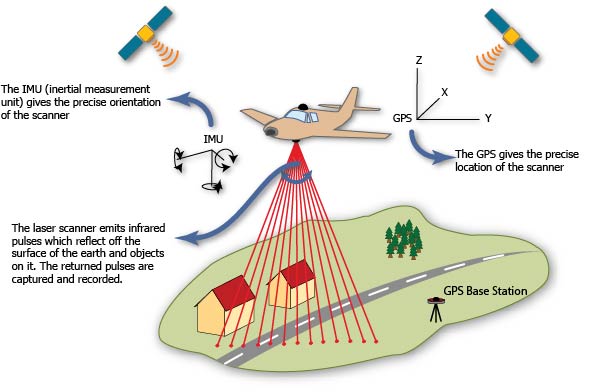
The positioning
systems are arguably the most important for the
technology to work in an airborne LiDAR and
because of this, there are two different
positioning systems that are used to ensure
understanding of the exact position of the
aircraft on Earth. The first system set is
typically located on both the ground and in space
(through use of satellites.) These systems measure
the plane's exact x, y, and z coordinates. (5)
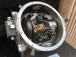
The second set comes
from a device called a Inertial Measurement Unit,
or IMU for short. This device measures three
different things on the aircraft to determine the
orientation as it flies through the air: pitch,
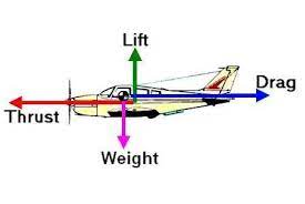
yaw, and roll. (5) The plane also is experiencing
many forces as it flies such as drag, lift,
thrust, and weight and all of these forces can
cause changes in the movement of the flight that
need to be recorded to have accurate mapping.
As stated earlier, these positioning systems can
be used to calculate the altitude of a plane
which can then be used to calculate the
elevation. This process helps quite a bit when
considering real applications of LiDAR
technology. Especially for the archaeologist
from our introduction example attempting to find
a lost city.
|